Loading…
Colorado
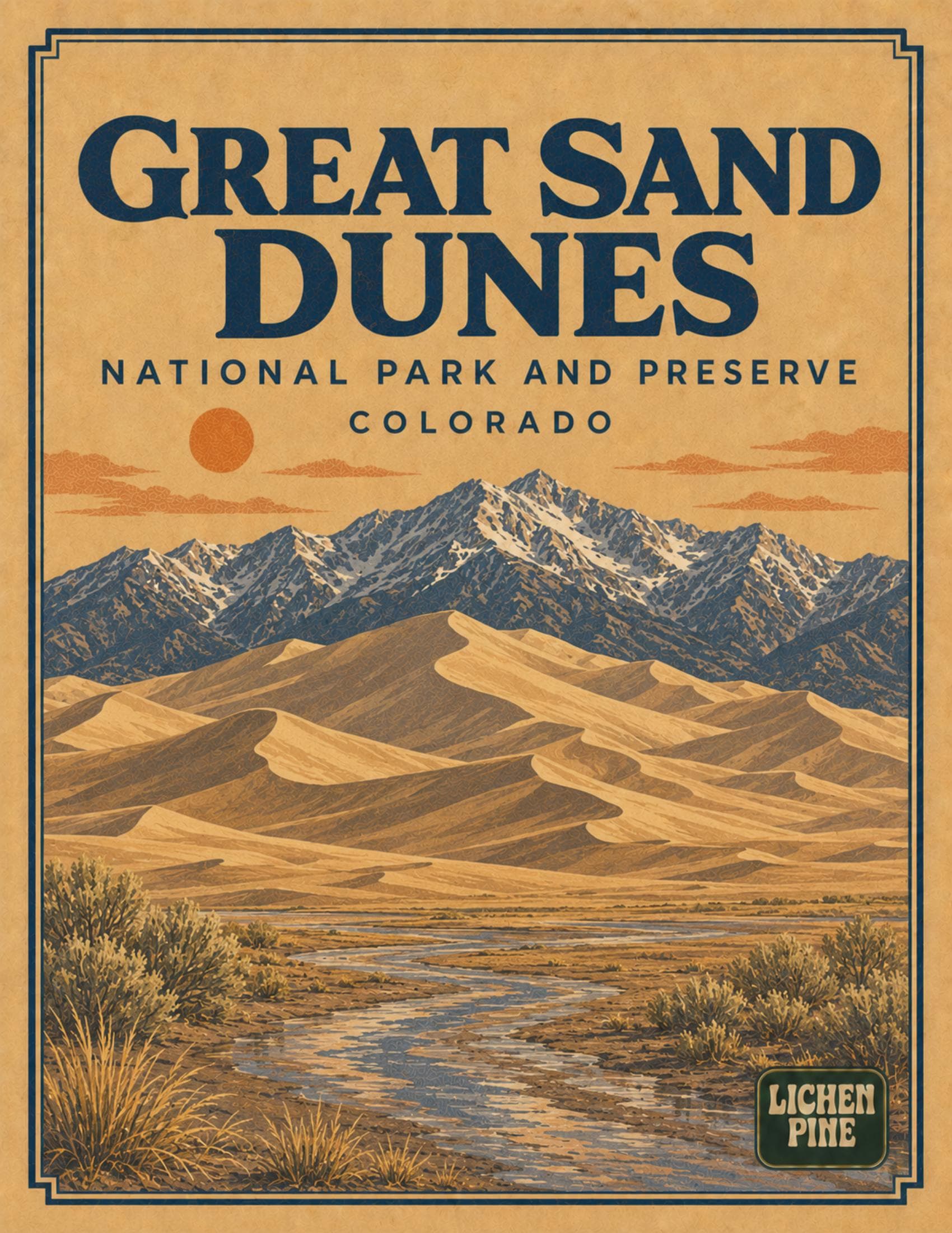
Great Sand Dunes
Field Guide
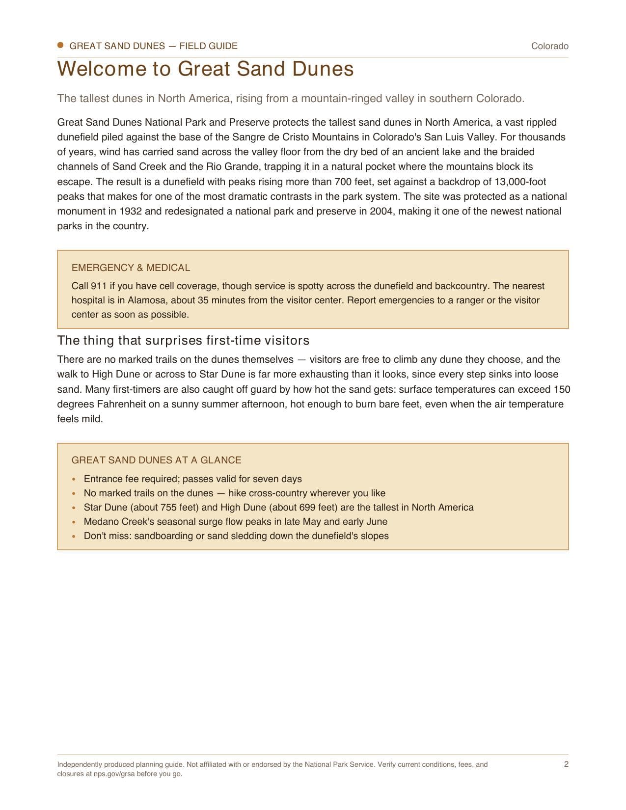
The tallest dunes in North America, rising from a mountain-ringed valley in southern Colorado.
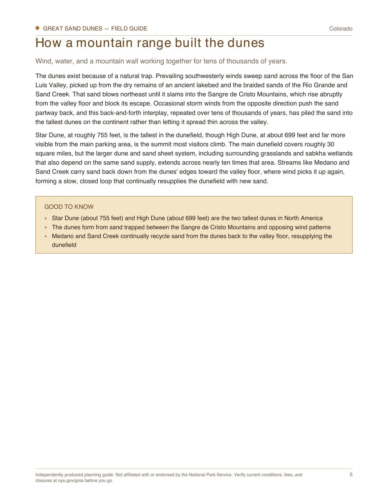
A complete planning guide to Great Sand Dunes National Park and Preserve. Covers how prevailing winds trapped sand against the Sangre de Cristo Mountains to build Star Dune and High Dune, the tallest dunes in North America, sandboarding and sand sledding down the dunefield, Medano Creek's seasonal surge flow that peaks in late May and early June, hiking cross-country since there are no marked trails on the dunes, the park's diverse ecosystems from wetlands to alpine tundra, the four-wheel-drive Medano Pass Primitive Road, some of the darkest night skies in the National Park System, camping and lodging from Pinon Flats Campground to nearby Alamosa, and the official NPS park map.
- 14
- pages
- instant download
- Aug 2026
- last updated
What's inside
- 1How wind trapped sand against the Sangre de Cristo Mountains to build the tallest dunes in North America
- 2Sandboarding and sand sledding down the dunefield, and where to rent the right gear
- 3Medano Creek's seasonal surge flow, and why late May through early June is the best time to see it
- 4Why there are no marked trails on the dunes, and how to find your way back
$9.99
14 pages · PDF download
Instant download after checkout. Secure payment via Stripe.
Spiral-bound print copy — coming soon
Inside every guide
The Great Sand Dunes guide, page by page
A 14-page print-at-home PDF field guide to Great Sand Dunes, Colorado.
- 01Welcome to Great Sand Dunes
- 02Rules & basics
- 03First-time logistics
- 04How a mountain range built the dunes
- 05Park overview map
- 06Sandboarding, dune climbs & Medano Creek
- 07Routes & travel
- 08Wildlife
- 09Weather & when to go
- 10Beyond the trails
- 11Camping & lodging
- 12Pocket cards
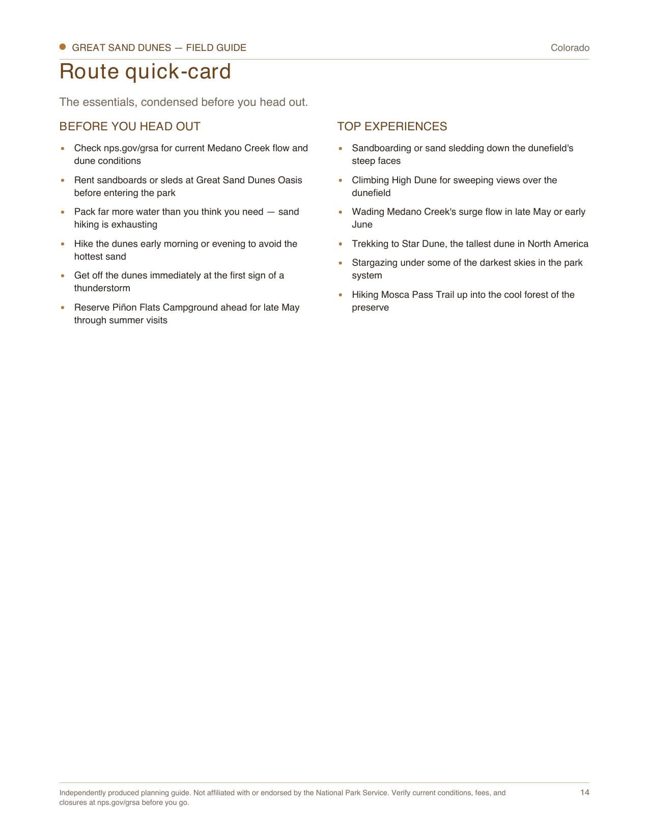
- 13Route quick-card
Boxed sets
Also available in a bundle
More national park guides in Colorado
Ready for Great Sand Dunes?
Instant PDF. Print it, cut out the pocket cards, and go.
$9.99
$9.99