Loading…
Utah
Canyonlands
Field Guide
A vast desert wilderness of sandstone canyons, mesas, and spires, cut by the Green and Colorado Rivers.
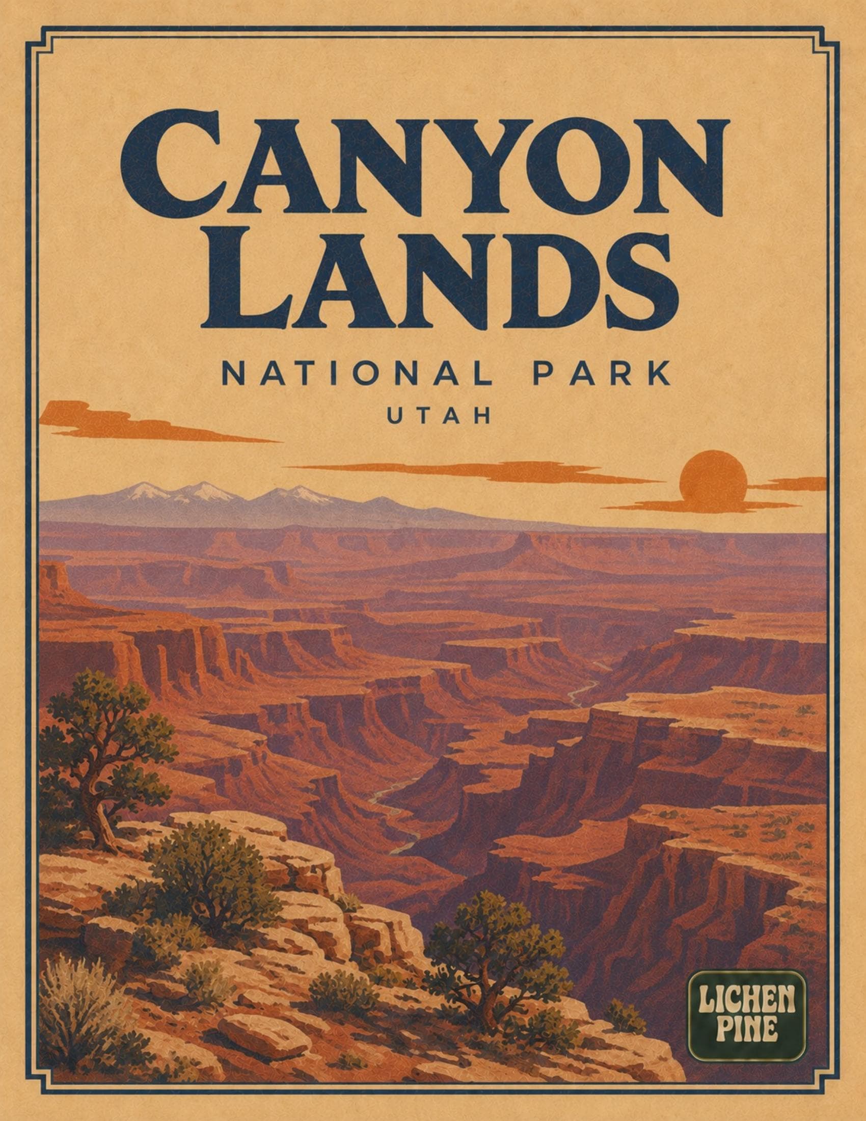
A complete planning guide to Canyonlands National Park. Covers the three separate districts — Island in the Sky, the Needles, and the Maze — plus Mesa Arch, Upheaval Dome, the White Rim Road, the Confluence of the Green and Colorado Rivers, the official NPS district map, weather and seasons, backcountry permits, and the park's two developed campgrounds at Willow Flat and Squaw Flat.
- 14
- pages
- instant download
- Aug 2026
- last updated
What's inside
- 1Three distinct districts with no direct roads connecting them: Island in the Sky, the Needles, and the Maze
- 2Mesa Arch, Grand View Point, and Upheaval Dome in Island in the Sky
- 3The Confluence of the Green and Colorado Rivers and the whitewater of Cataract Canyon
- 4Backcountry permits, campgrounds, and logistics for each district
$9.99
14 pages · PDF download
Instant download after checkout. Secure payment via Stripe.
Spiral-bound print copy — coming soon
Inside every guide
The Canyonlands guide, page by page
A 14-page print-at-home PDF field guide to Canyonlands, Utah.
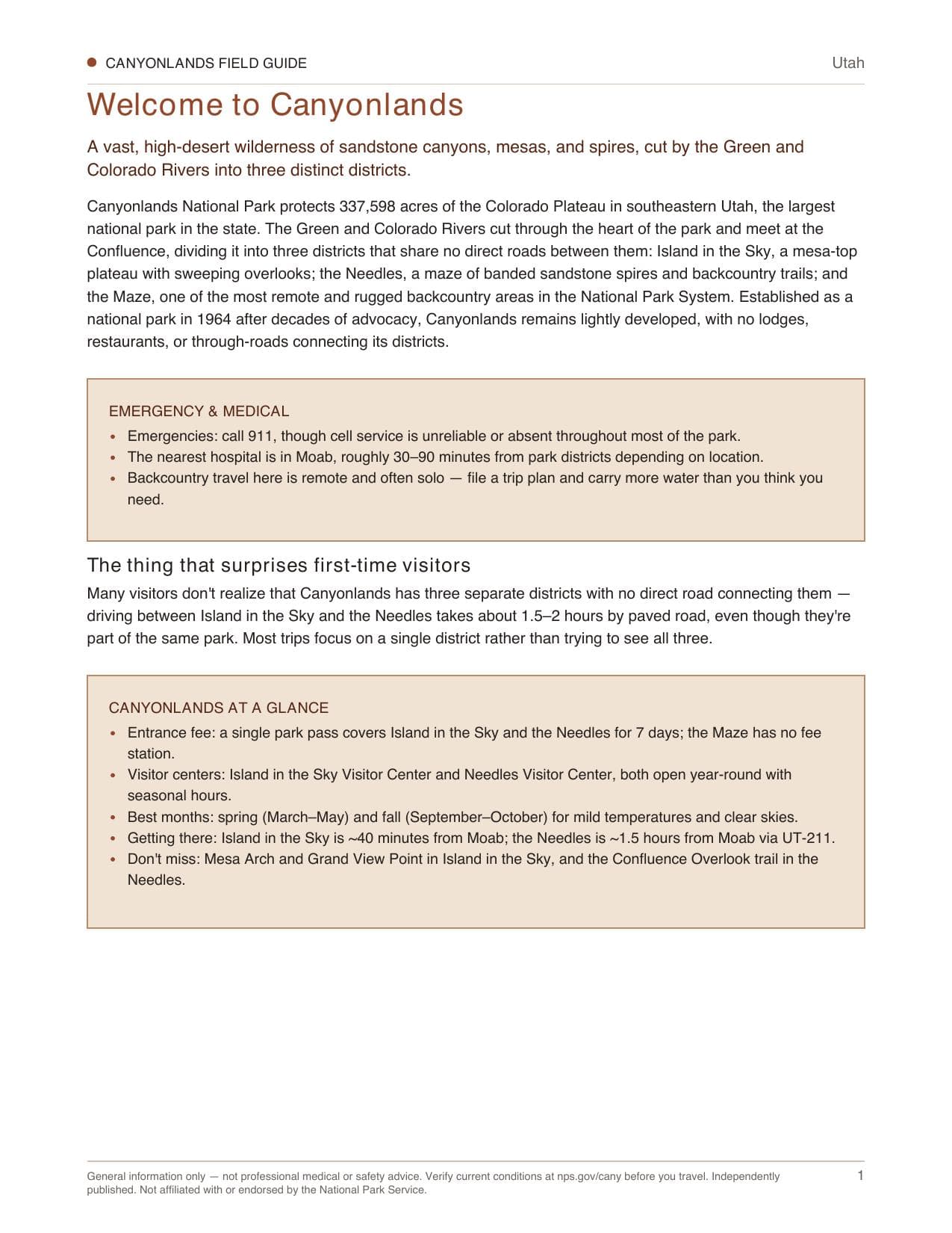
- 01Welcome to Canyonlands
- 02Rules & basics
- 03First-time logistics
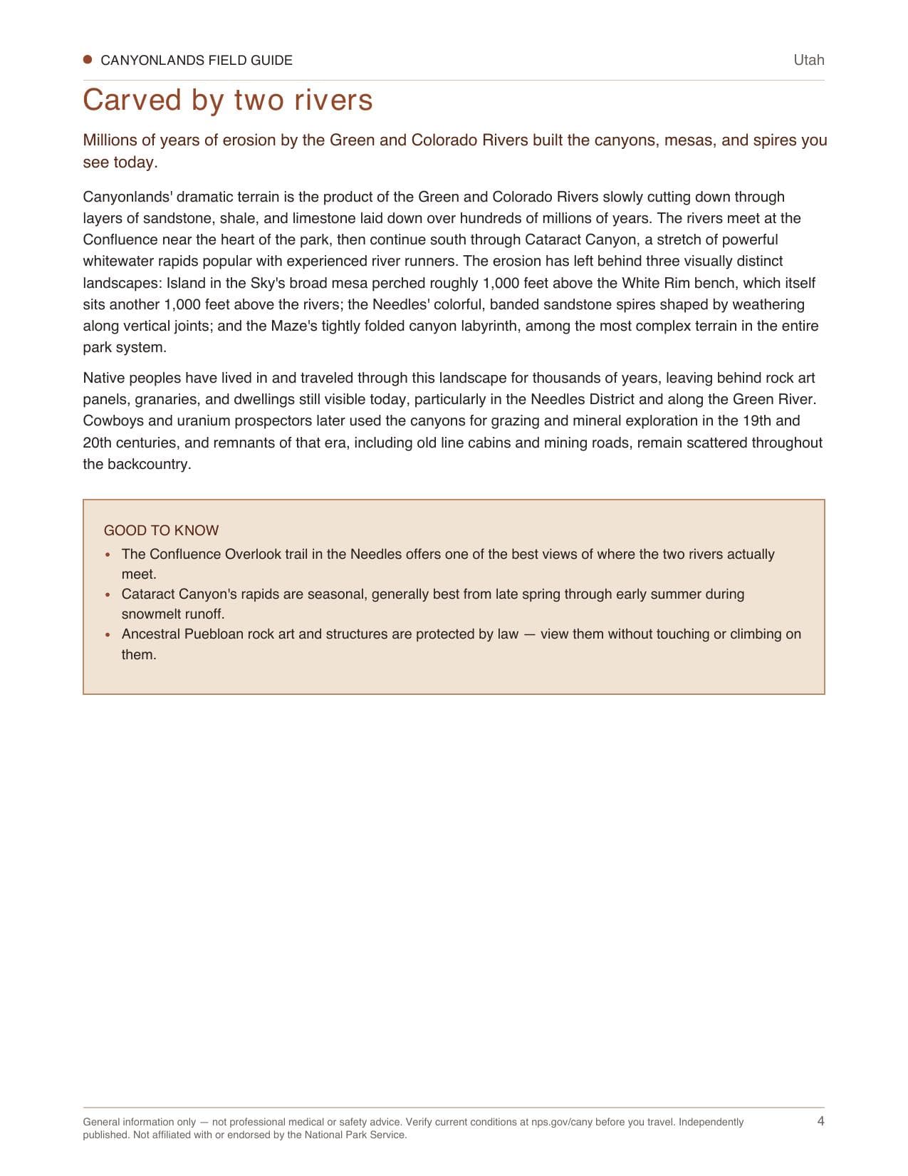
- 04Carved by two rivers
- 05Park overview
- 06Island in the Sky District
- 07Best ways to explore
- 08The Needles District
- 09Weather & seasons
- 10The Maze & river country
- 11Lodging & nearby services
- 12Pocket cards
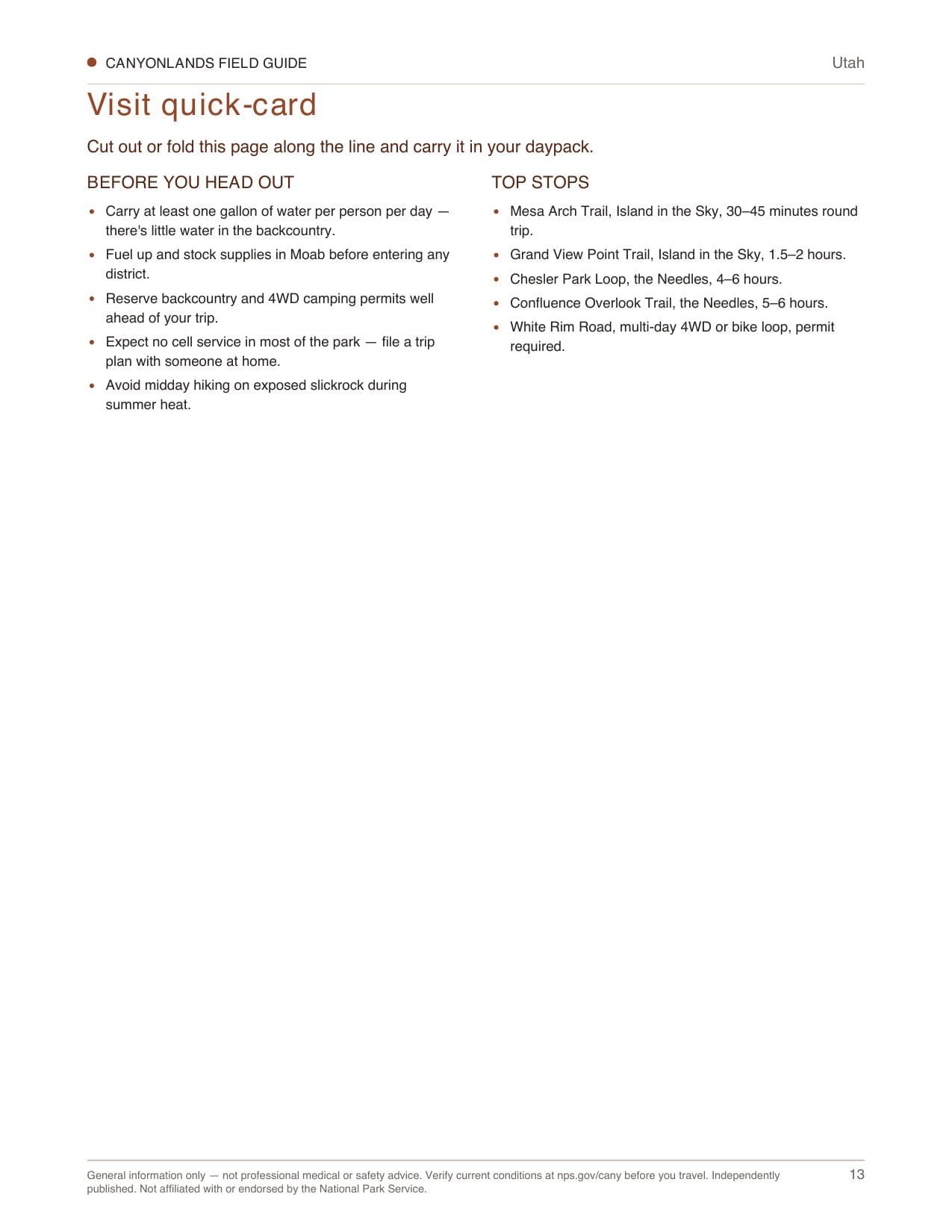
- 13Visit quick-card
Boxed sets
Also available in a bundle
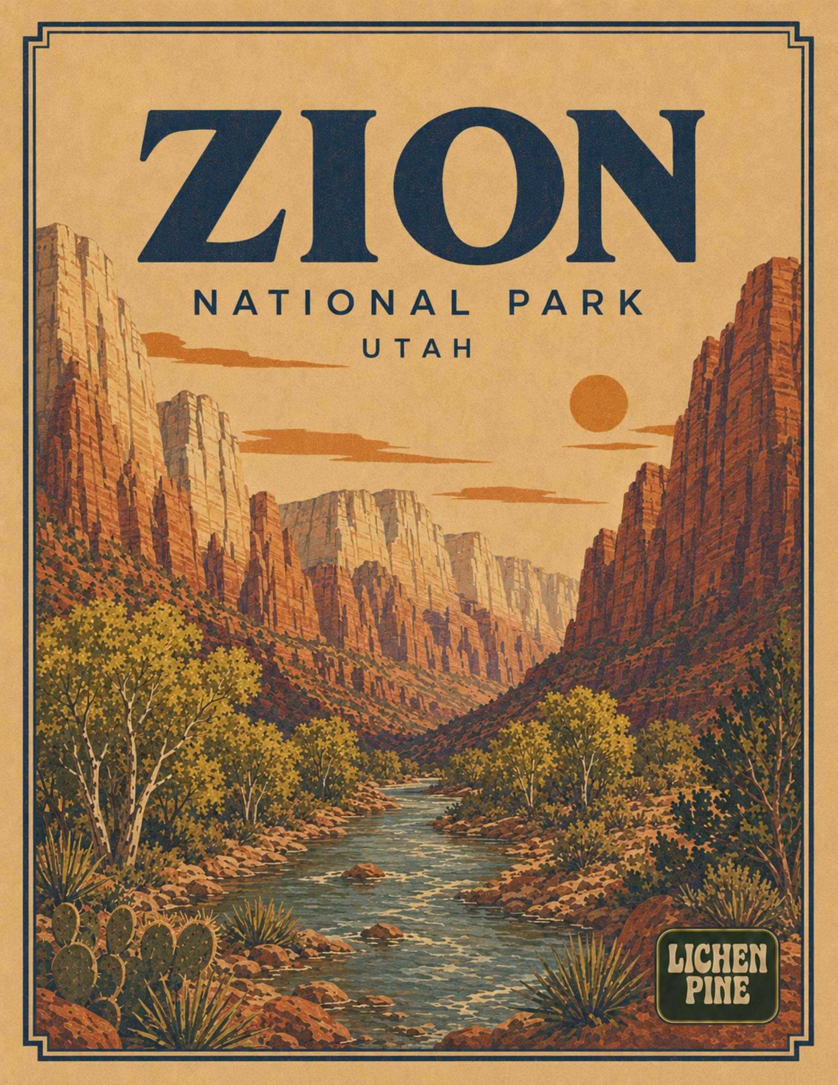
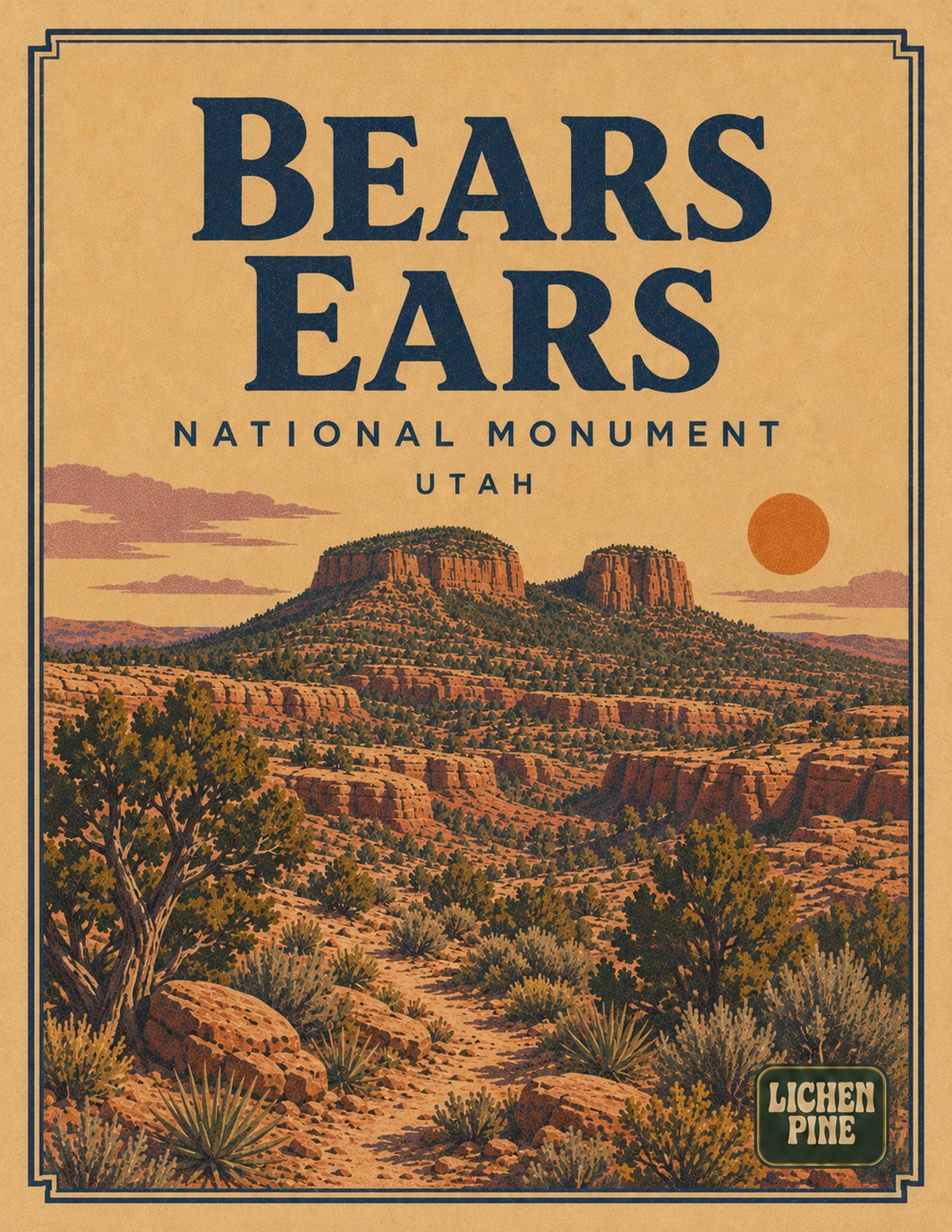
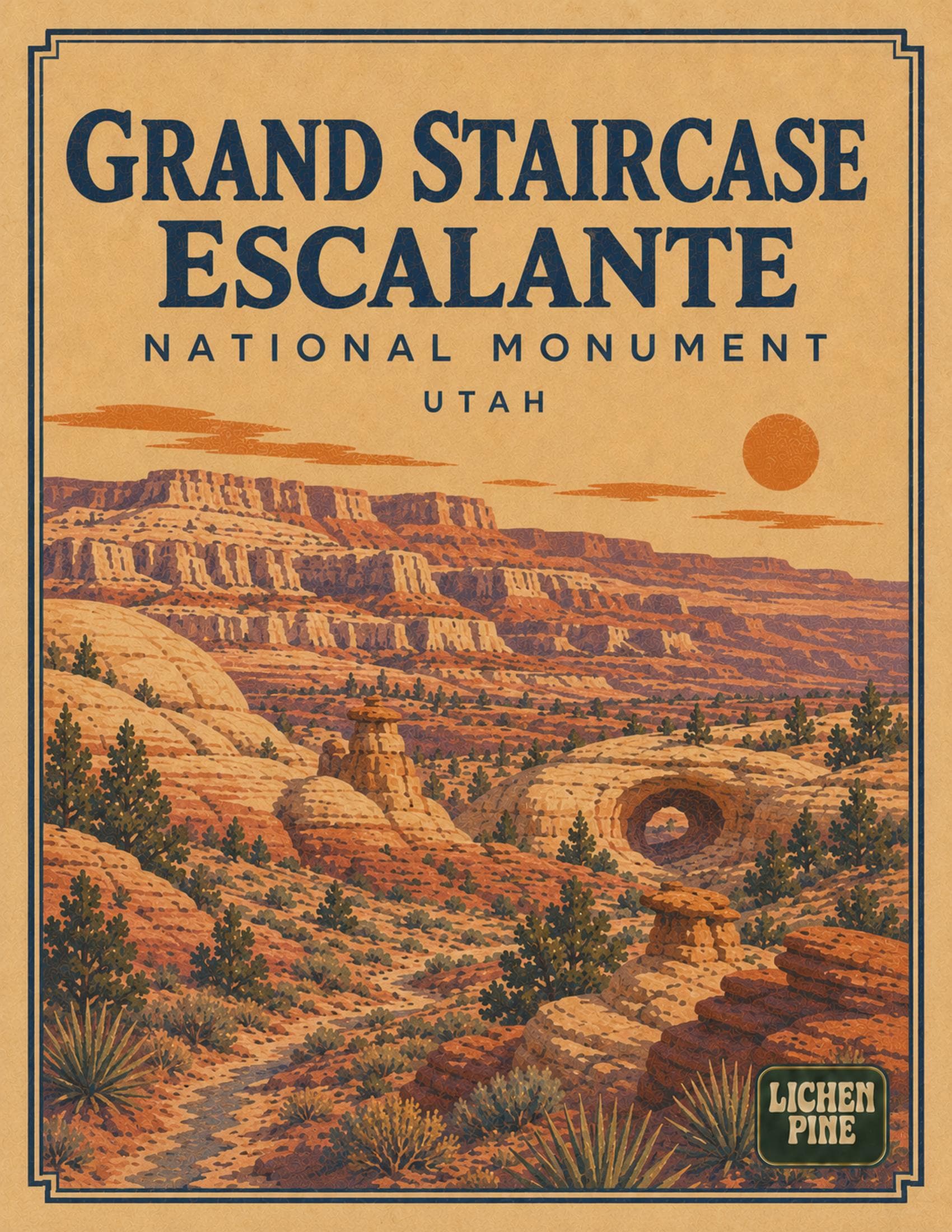
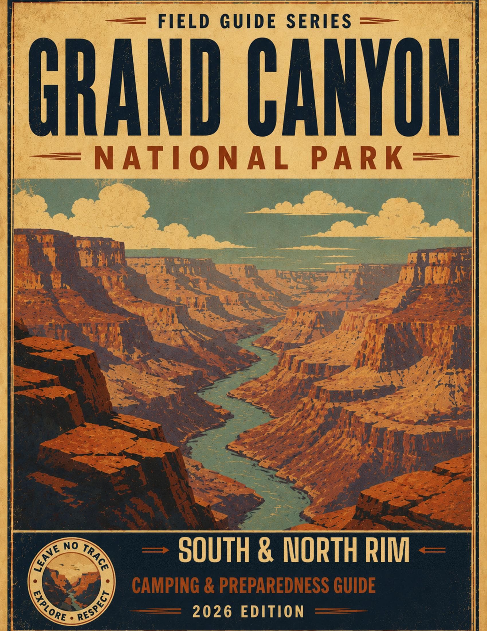
Ready for Canyonlands?
Instant PDF. Print it, cut out the pocket cards, and go.
$9.99
$9.99