Loading…
Park Bundle
Southwest
Boxed Set
14 print-at-home PDF guides in one purchase. Save 15% compared with buying each one separately.
- 14
- guides
- 205
- pages in all
- 15%
- off every guide
Save 15%$139.86$118.88
Instant download after checkout. Secure payment via Stripe.
Spiral-bound print copy — coming soon
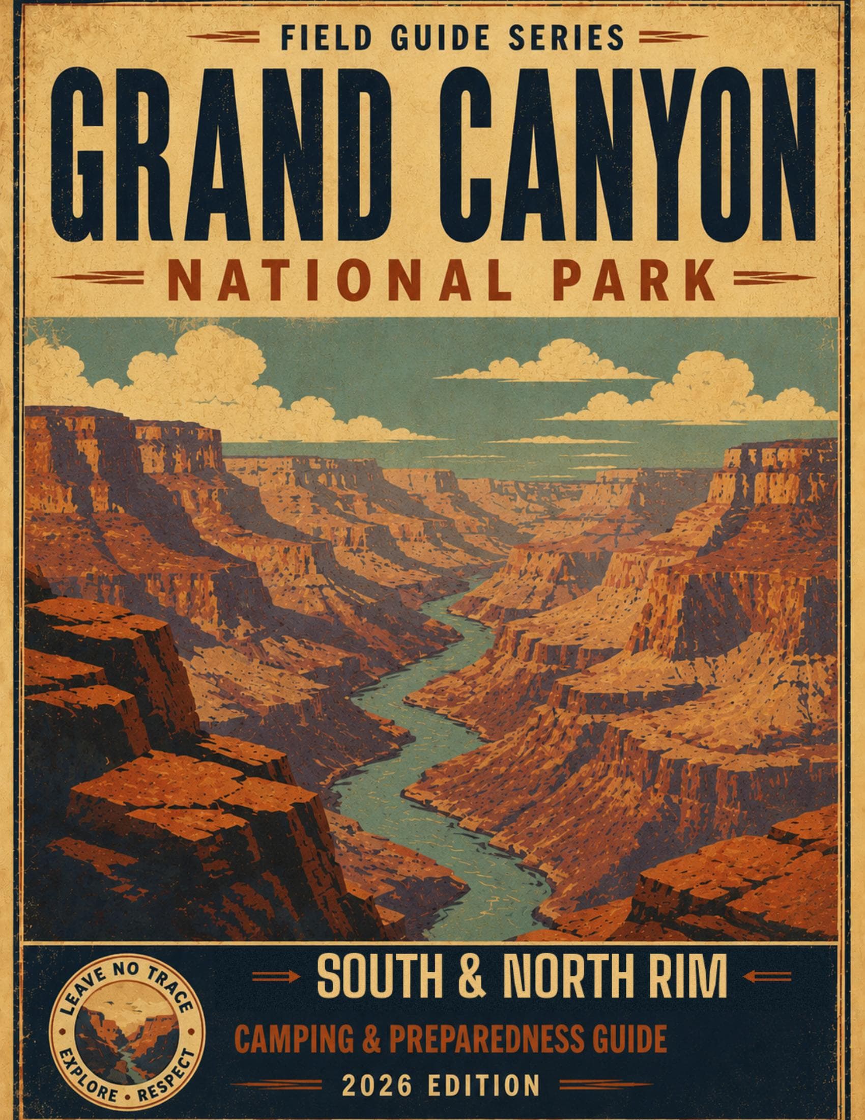
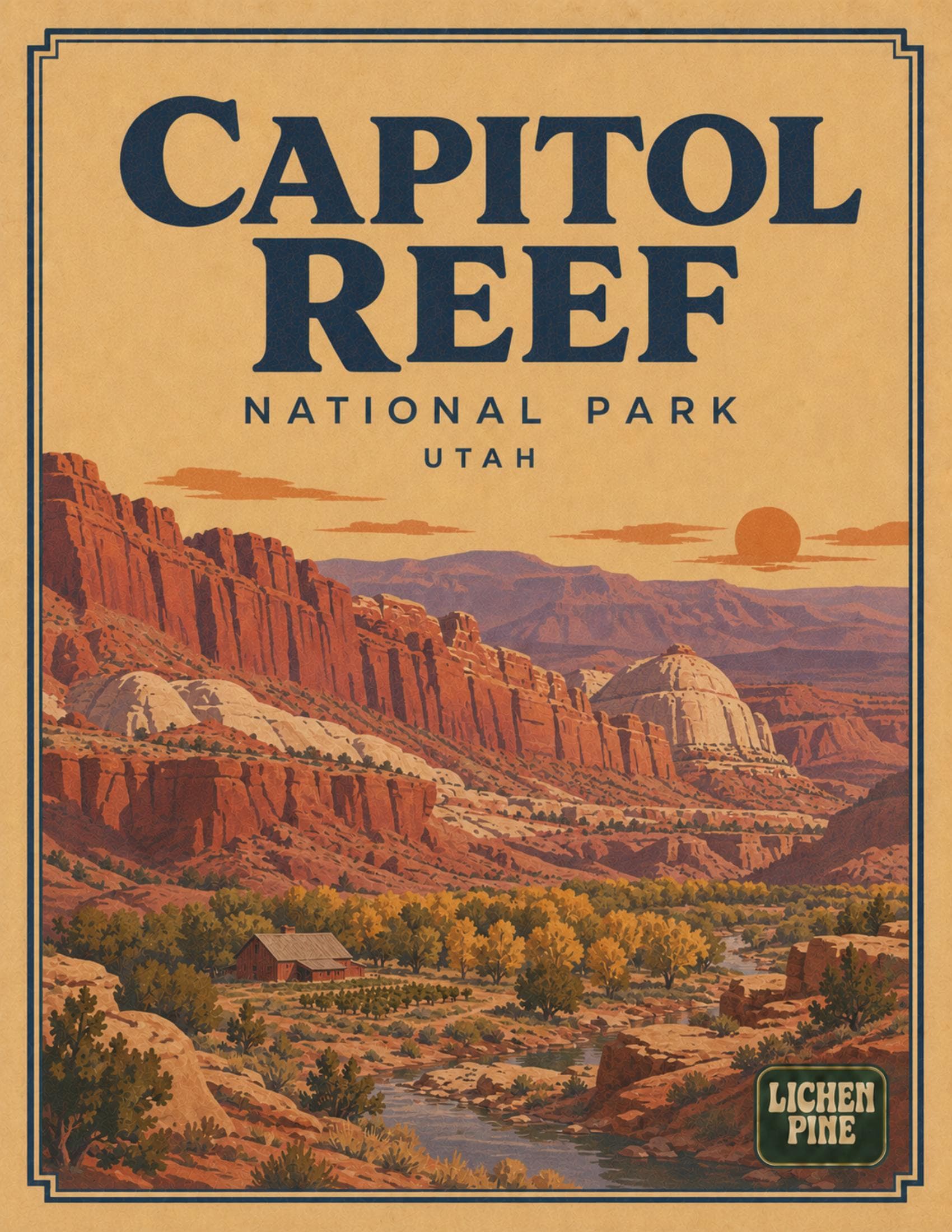
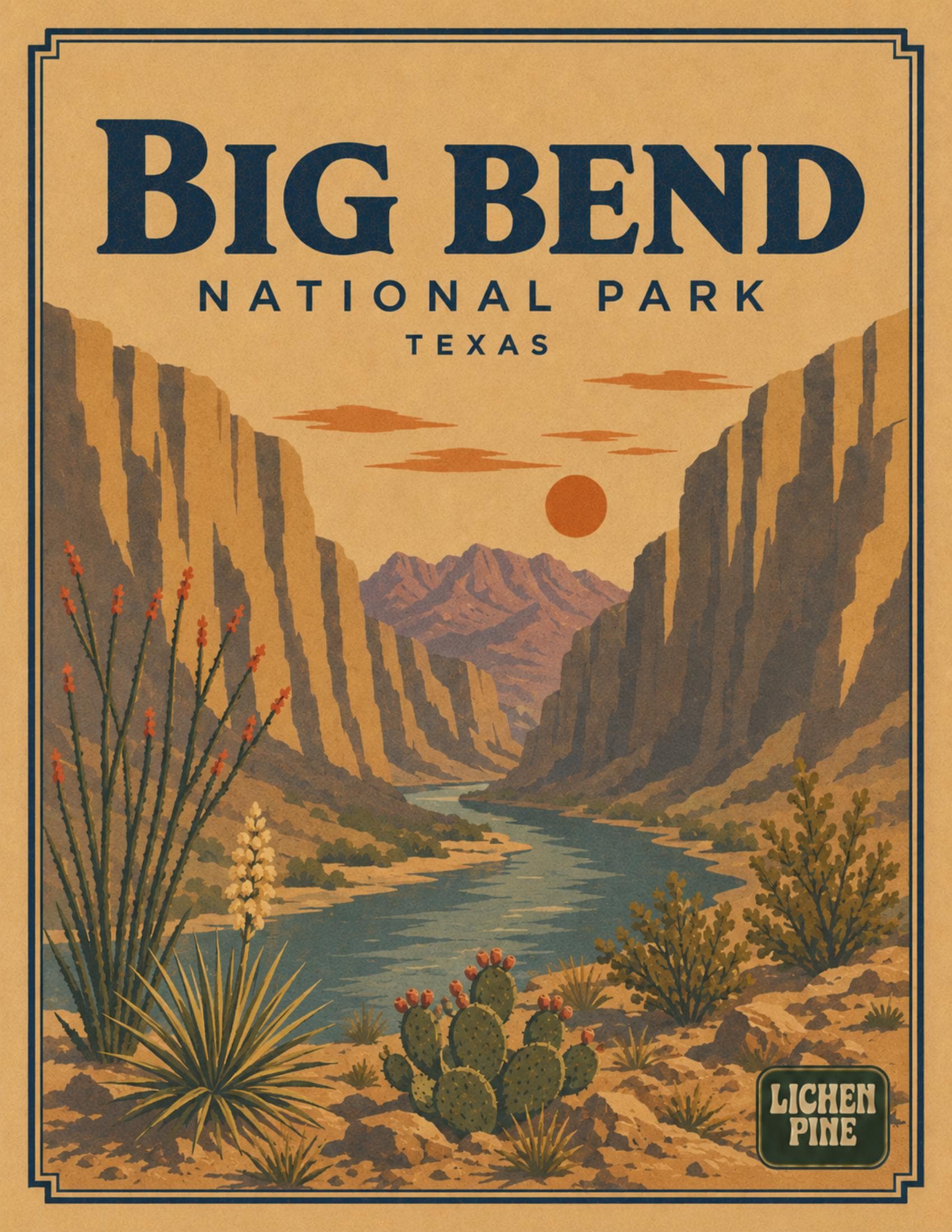
14 guides
What's included
Grand Canyon$9.99 · PDF
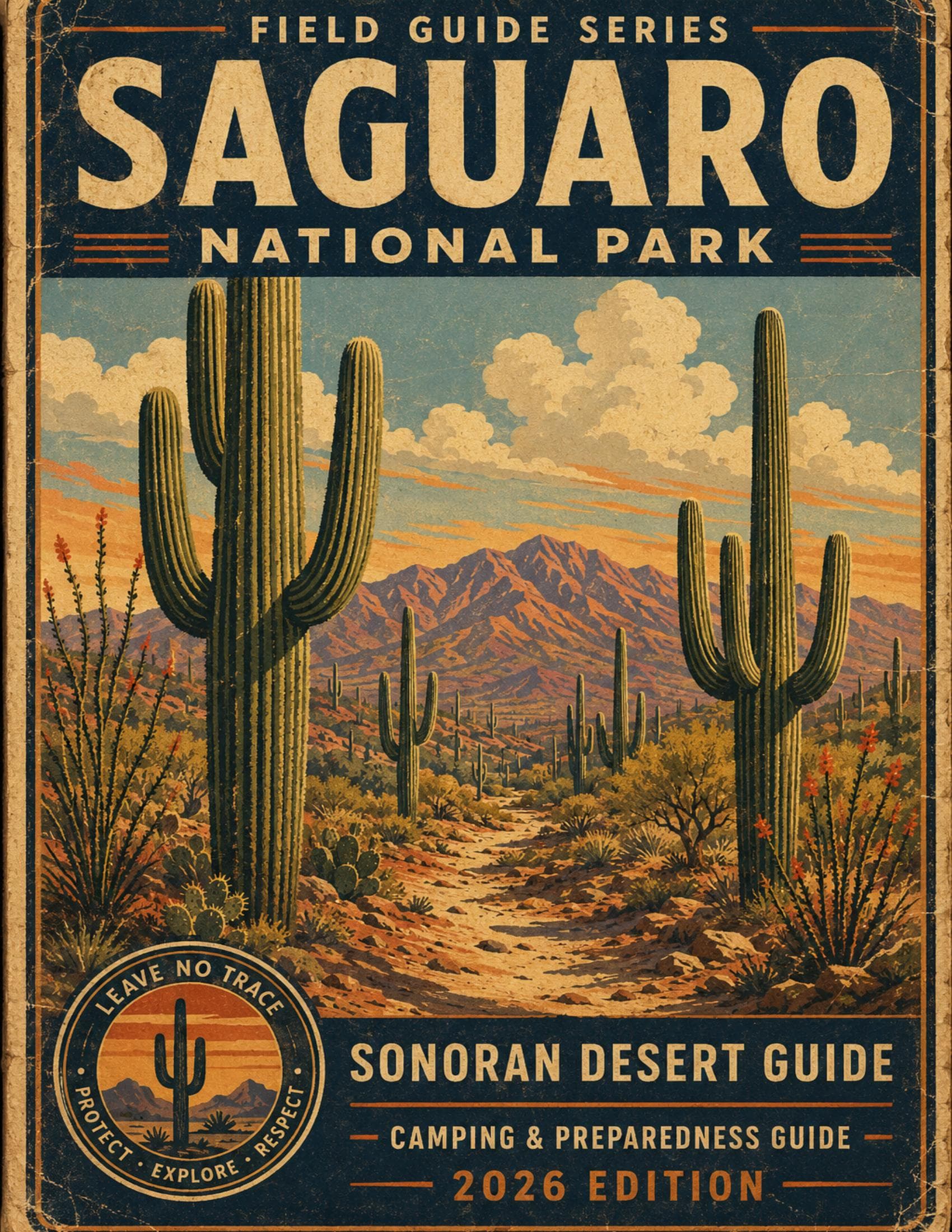
Saguaro$9.99 · PDF
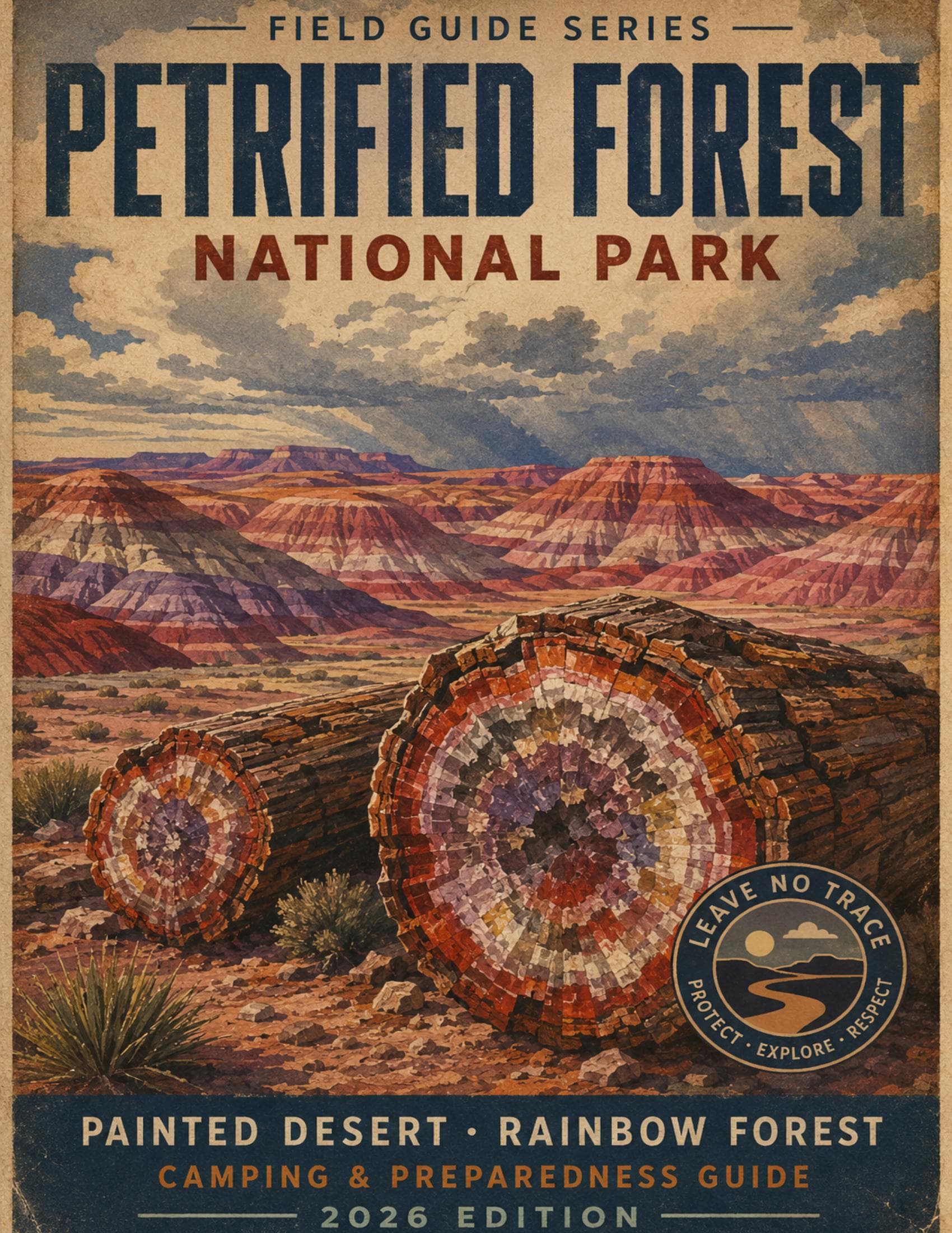
Petrified Forest$9.99 · PDF
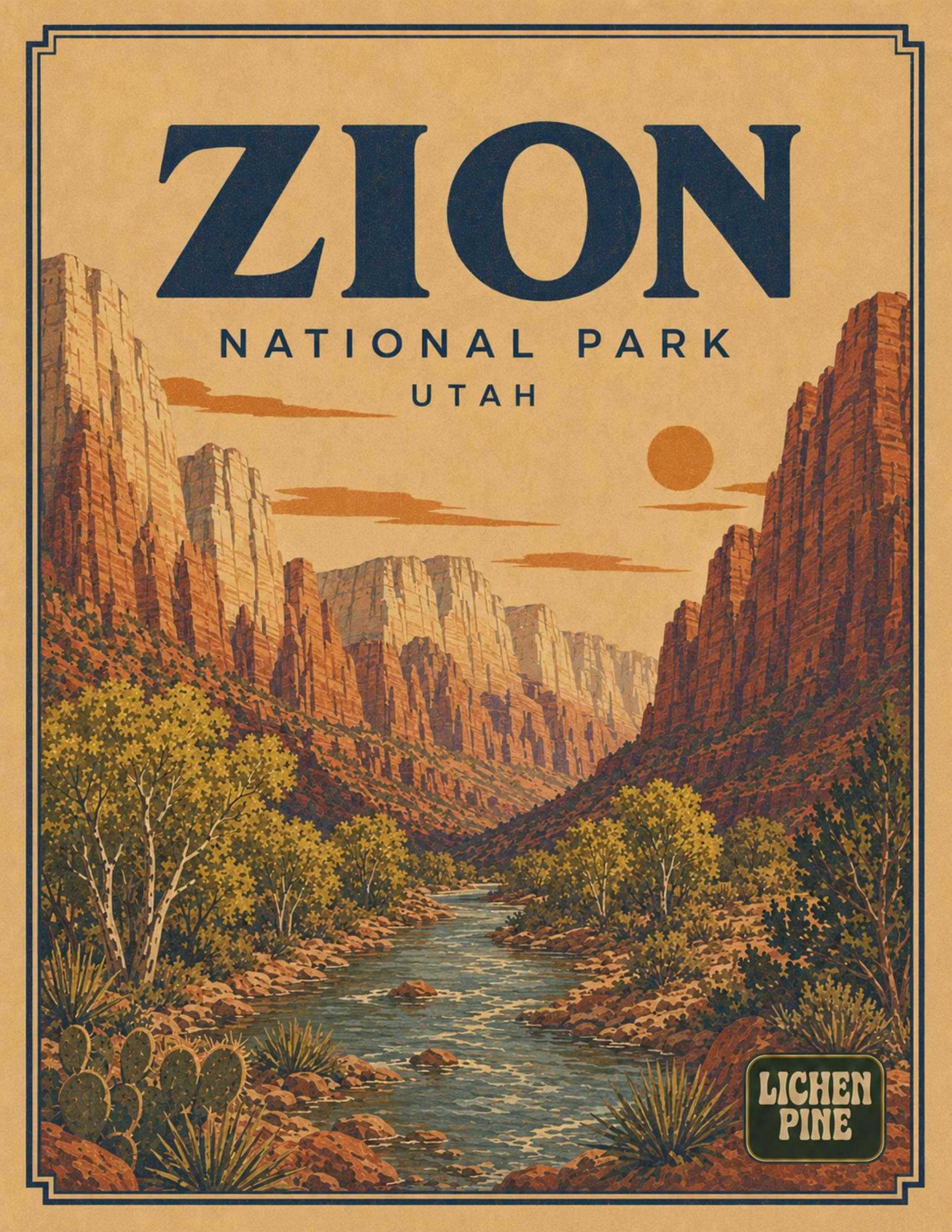
Zion$9.99 · PDF
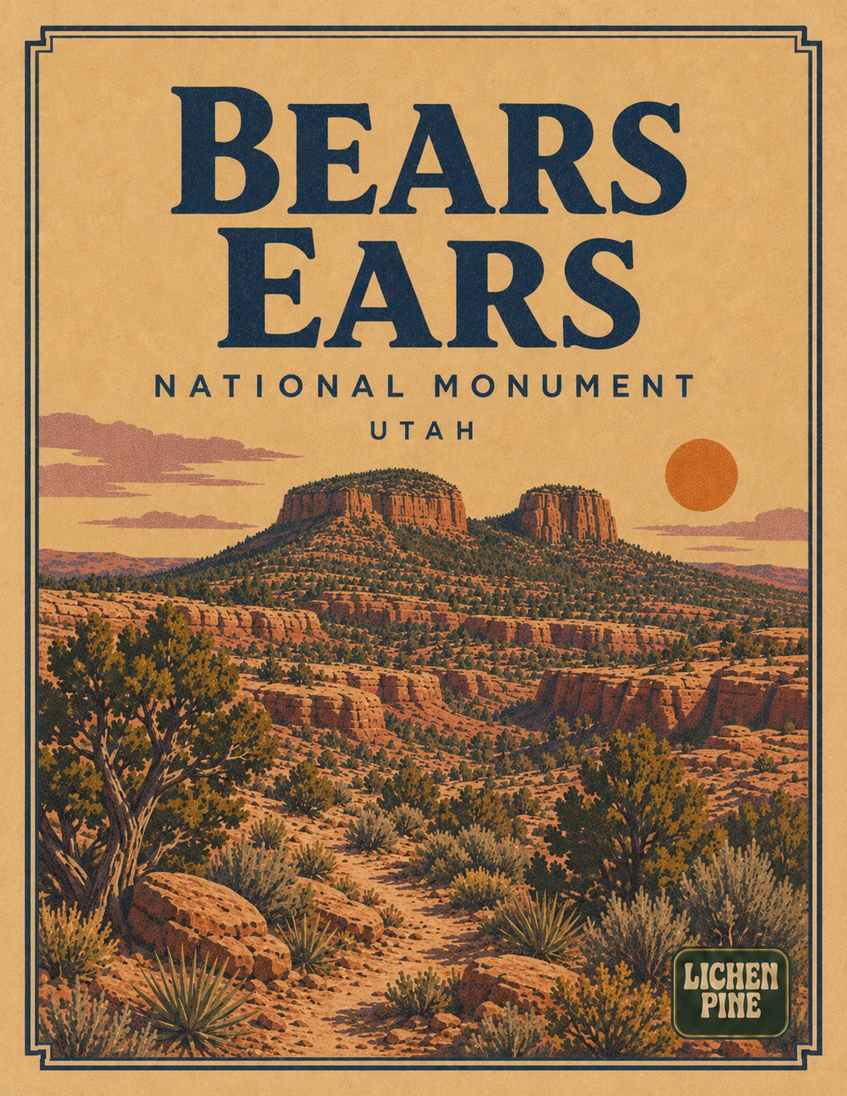
Bears Ears$9.99 · PDF
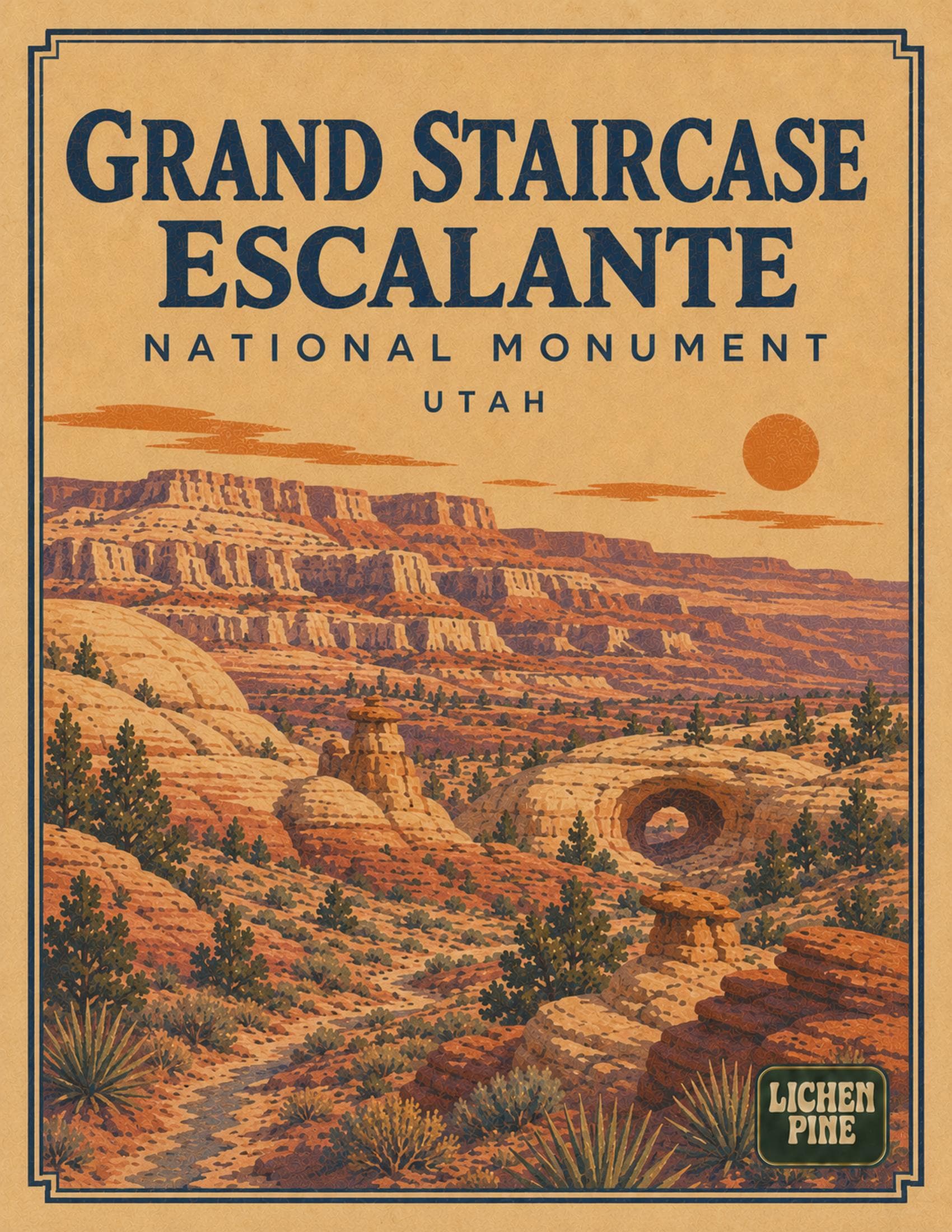
Grand Staircase-Escalante$9.99 · PDF
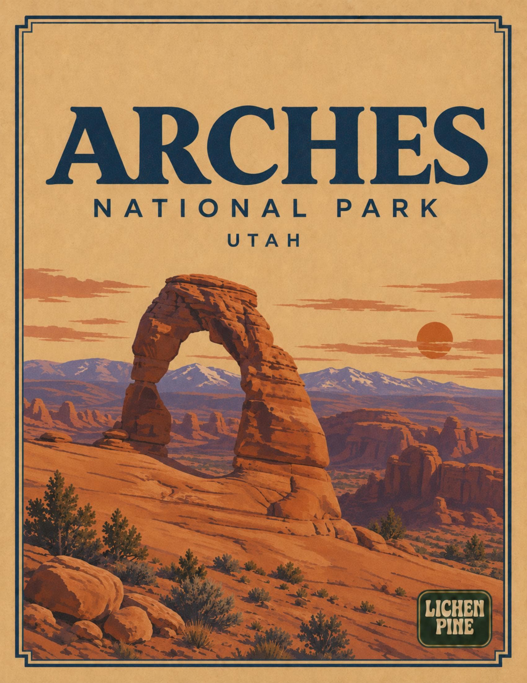
Arches$9.99 · PDF
Capitol Reef$9.99 · PDF
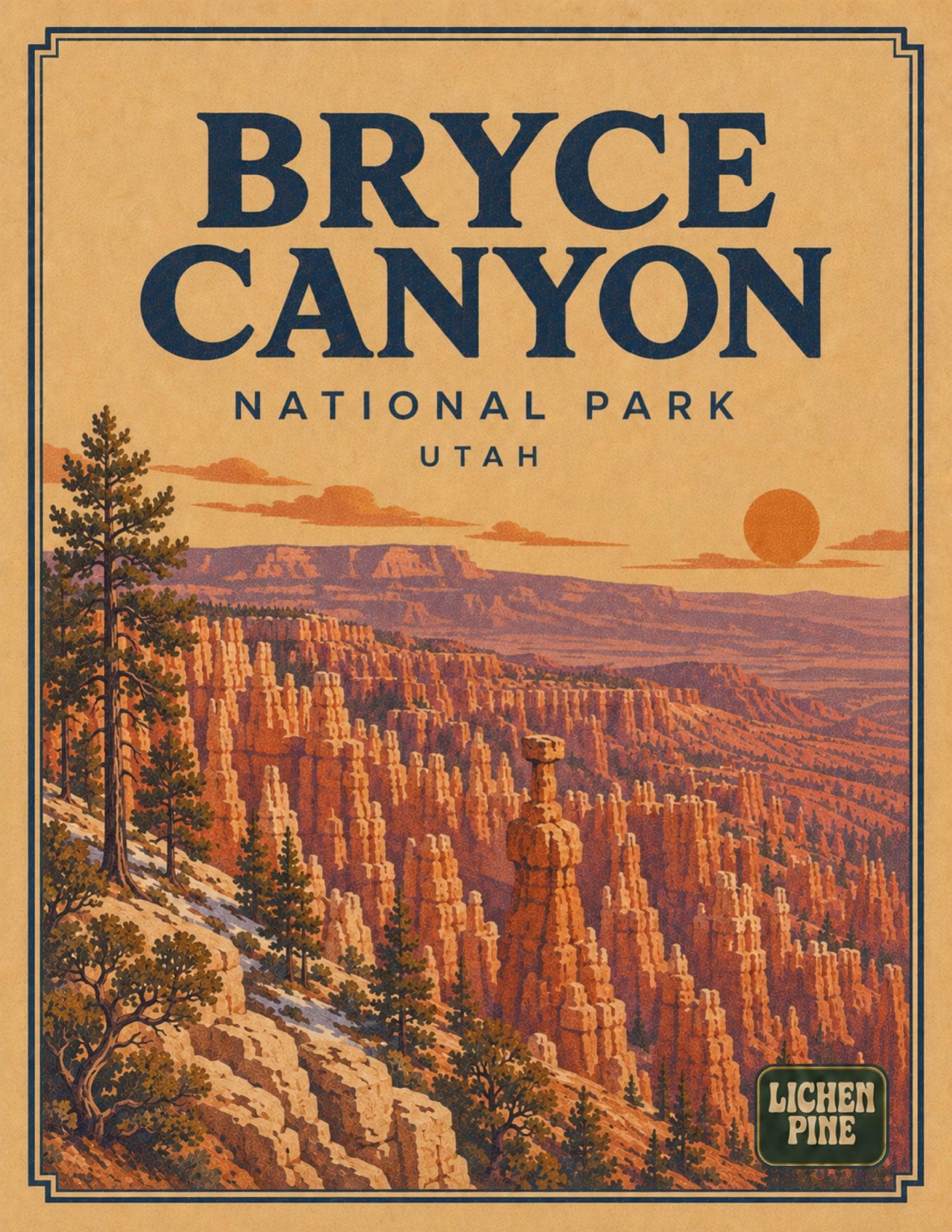
Bryce Canyon$9.99 · PDF
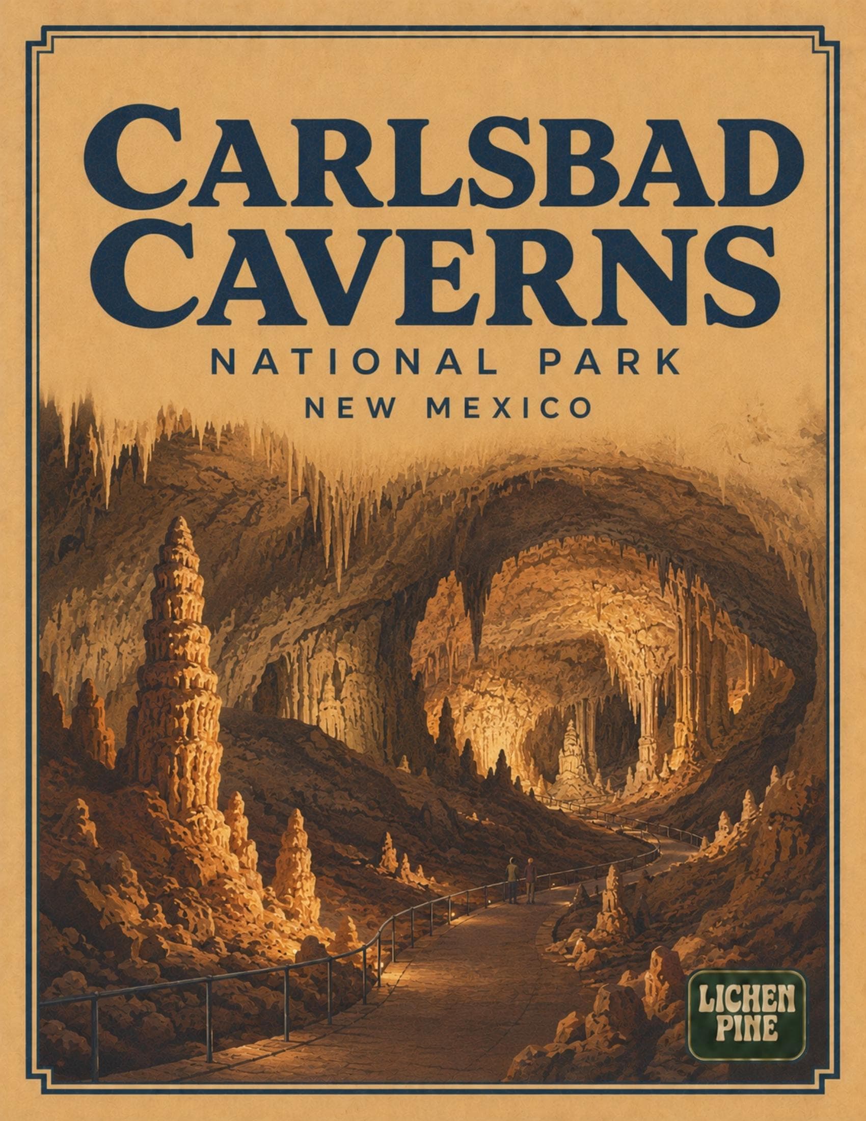
Carlsbad Caverns$9.99 · PDF
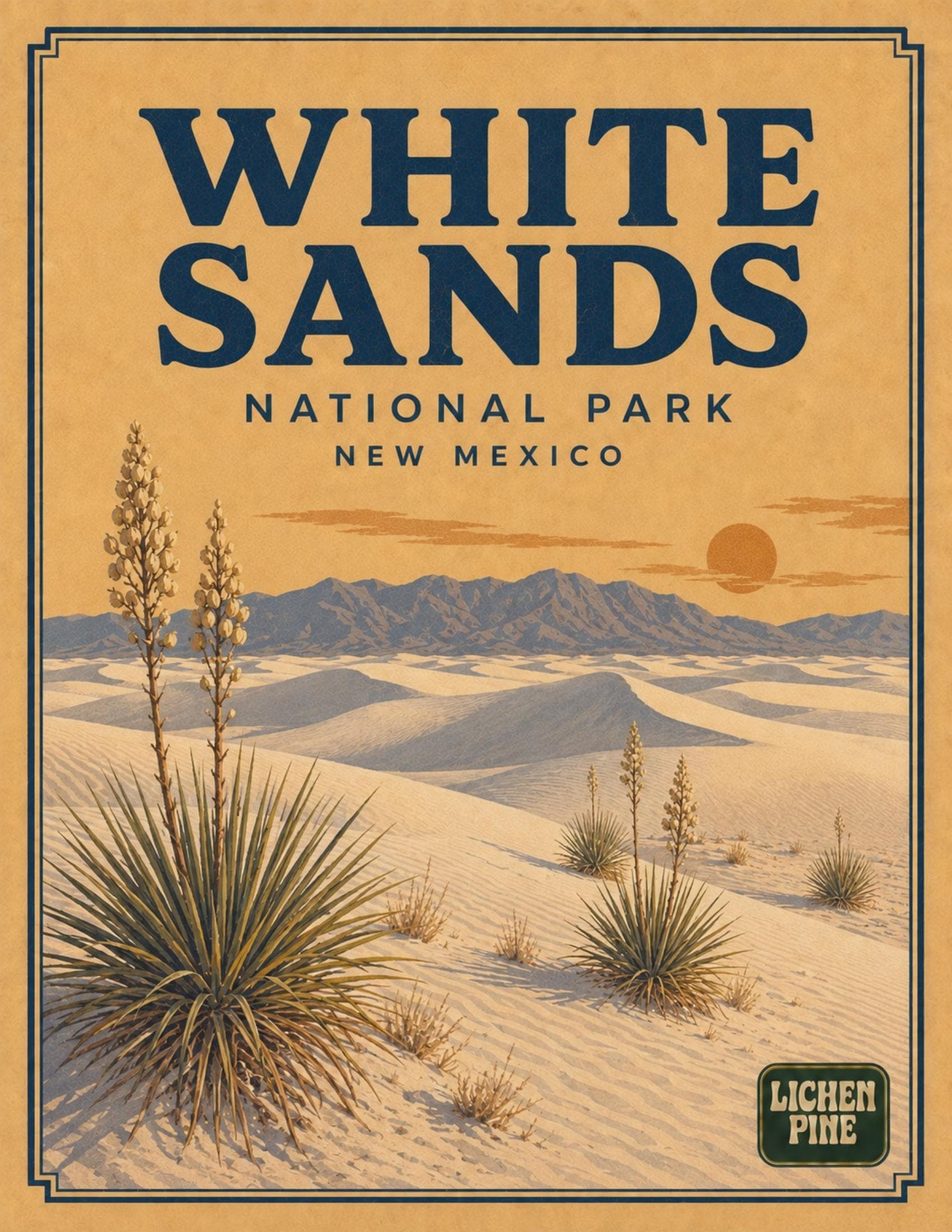
White Sands$9.99 · PDF
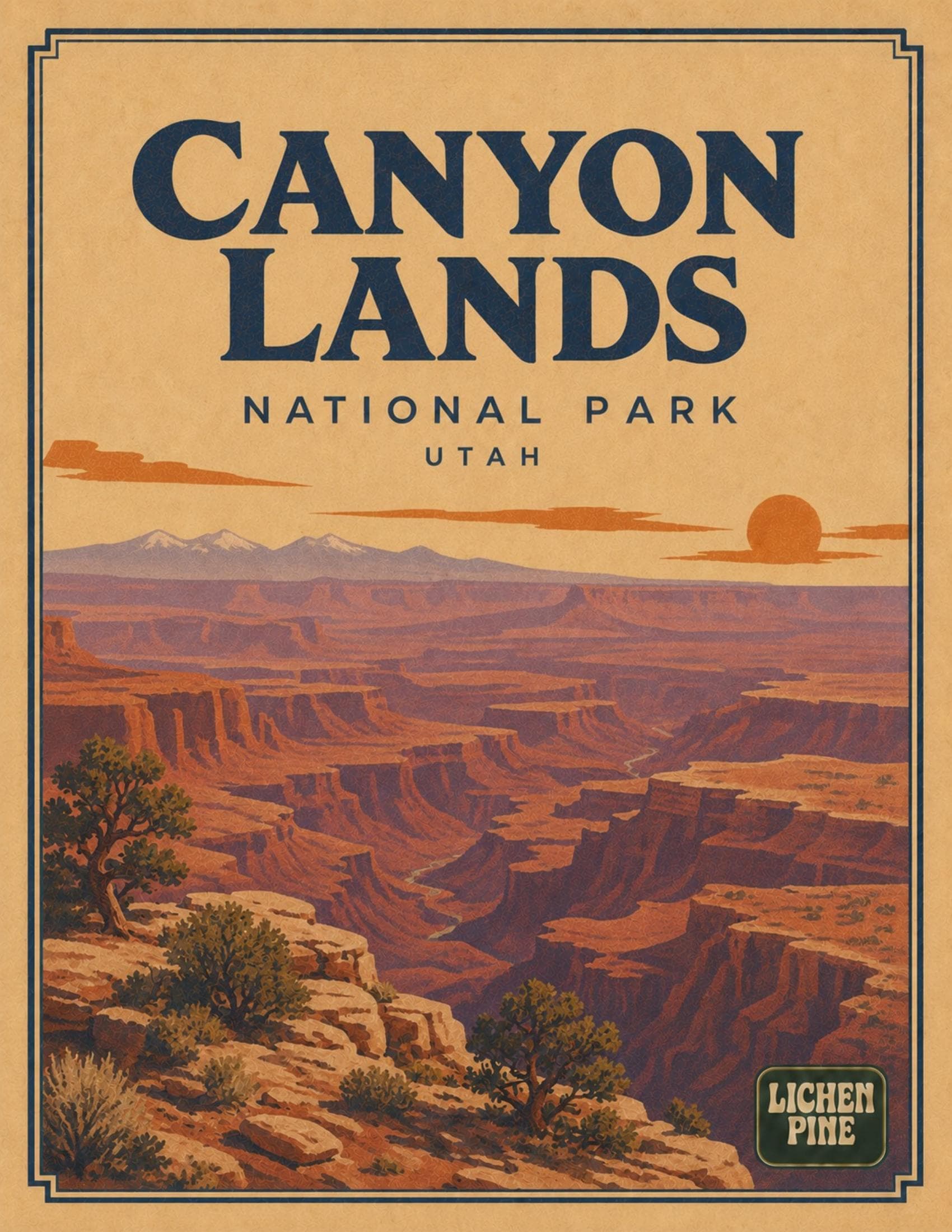
Canyonlands$9.99 · PDF
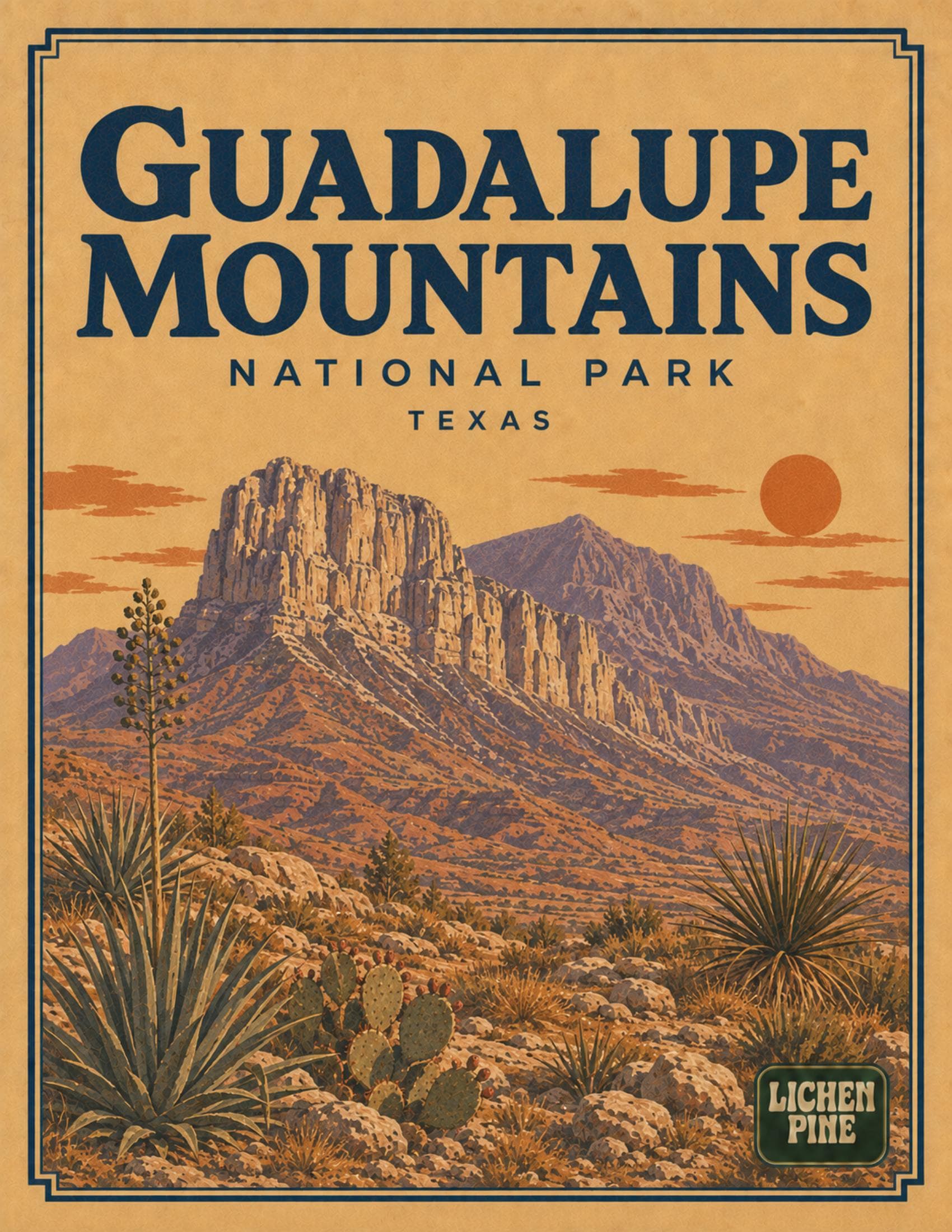
Guadalupe Mountains$9.99 · PDF
Big Bend$9.99 · PDF
In this set
What's in the Southwest bundle
14 print-at-home PDF field guides, about 205 pages in total. Buy them together as a bundle and save 15% compared with buying each guide separately.
- 01Arches Field Guide
The highest concentration of natural stone arches on Earth — and an International Dark Sky Park after dark.
Inside: First-time logistics · Scenic drive & iconic stops · Park overview map · Weather & seasons · Best hikes
- 02Bears Ears Field Guide
Canyons, cliff dwellings, and twin buttes sacred to five tribes — a landscape with no single entrance.
Inside: First-time logistics · Roads & scenic drives · Park overview map · Weather & seasons · Best sites & hikes
- 03Big Bend Field Guide
Where the Rio Grande carves three great canyons beneath the volcanic Chisos Mountains and some of the darkest skies in the Lower 48.
Inside: First-time logistics · A river that carved three canyons through solid rock · Park overview map · Santa Elena Canyon, the Window & Boquillas · Routes & travel
- 04Bryce Canyon Field Guide
The world's largest concentration of hoodoos, a rim you can walk end to end, and some of the darkest skies in the country.
Inside: First-time logistics · How the hoodoos formed · Park overview · The viewpoints · Best hikes
- 05Canyonlands Field Guide
A vast desert wilderness of sandstone canyons, mesas, and spires, cut by the Green and Colorado Rivers.
Inside: First-time logistics · Carved by two rivers · Park overview · Island in the Sky District · Best ways to explore
- 06Capitol Reef Field Guide
A 100-mile fold in the earth, hidden pioneer orchards, and Utah's quietest canyons.
Inside: First-time logistics · Scenic drives & iconic stops · Park overview map · Weather & seasons · Best hikes
- 07Carlsbad Caverns Field Guide
More than 119 known caves beneath the Chihuahuan Desert, anchored by the Big Room and a nightly bat flight that fills the sky.
Inside: First-time logistics · The Big Room & Natural Entrance · Park overview · Ranger-guided tours & the Bat Flight Program · Best hikes & scenic drives
- 08Grand Canyon Flagship Guide
Rim to river — trails, viewpoints, and permits demystified.
Inside: First-time logistics · Parking · South Rim map · North Rim map · Heat & water
- 09Grand Staircase-Escalante Field Guide
Slot canyons, a rising staircase of colored cliffs, and one of the last places mapped in the continental US.
Inside: First-time logistics · Scenic drives & Hole-in-the-Rock Road · Park overview map · Weather & seasons · Best hikes
- 10Guadalupe Mountains Field Guide
Texas's highest peaks, an ancient fossil reef, and some of the most rugged solitude in the National Park System.
Inside: First-time logistics · An ancient reef turned into the highest peaks in Texas · Park overview map · Guadalupe Peak, El Capitan & McKittrick Canyon · Routes & travel
- 11Petrified Forest Flagship Guide
Painted Desert badlands and ancient fossilized log fields.
Inside: First-time logistics · Parking · Park map · Backcountry & wilderness · Heat, cold & lightning
- 12Saguaro Flagship Guide
The Sonoran Desert's cactus forest, mapped out for you.
Inside: First-time logistics · Parking · East district map — Rincon Mountain · West district map — Tucson Mountain · Heat & water
- 13White Sands Field Guide
The largest gypsum dunefield on Earth, a single scenic drive, and sledding down brilliant white dunes.
Inside: First-time logistics · How the dunes form · Park overview · Sledding & the dunes up close · Best ways to explore
- 14Zion Flagship Guide
Red-rock canyon walls, a mandatory shuttle, and a permit lottery — demystified.
Inside: First-time logistics · Scenic drives · Park overview map · Weather & flash floods · Best day hikes
Ready for the Southwest trip?
Instant PDF. Print it, cut out the pocket cards, and go.
$139.86$118.88
$139.86$118.88