Loading…
Texas
Guadalupe Mountains
Field Guide
Texas's highest peaks, an ancient fossil reef, and some of the most rugged solitude in the National Park System.
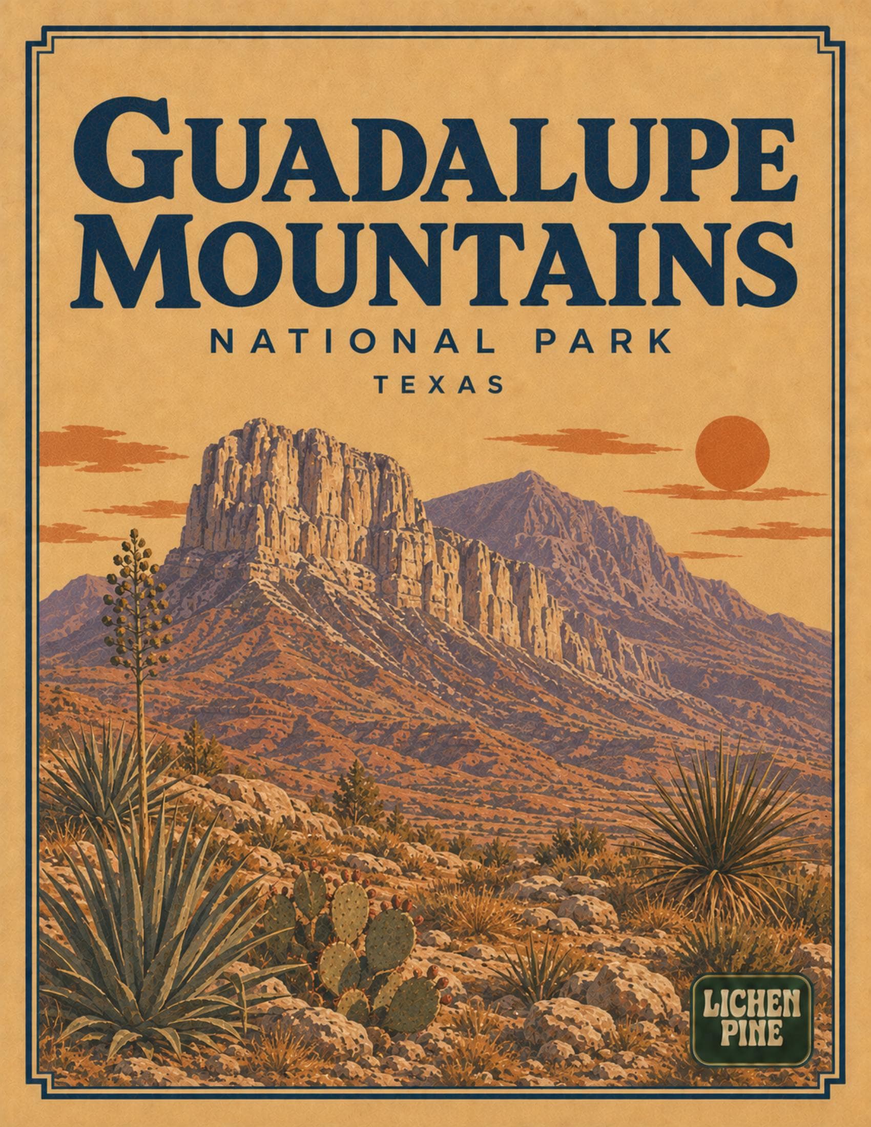
A complete planning guide to Guadalupe Mountains National Park. Covers the ancient Capitan Reef that built the range some 265 million years ago, the strenuous climb to Guadalupe Peak, the highest point in Texas, El Capitan's dramatic limestone face visible for miles along Highway 62/180, McKittrick Canyon's rare bigtooth maples that turn brilliant red and gold in late October, the remote and waterless nature of the park's trails, the fact that there is no food, gas, or lodging inside the park, historic Frijole Ranch and the Pinery stagecoach ruins, camping at Pine Springs and Dog Canyon, and the official NPS park map.
- 14
- pages
- instant download
- Aug 2026
- last updated
What's inside
- 1Climbing Guadalupe Peak, the highest point in Texas, atop an ancient fossil reef
- 2El Capitan's sheer limestone face and its history as a Butterfield Overland Mail landmark
- 3McKittrick Canyon's rare bigtooth maple fall foliage, usually peaking in late October
- 4Why there is no food, gas, or lodging inside the park, and how to plan around it
$9.99
14 pages · PDF download
Instant download after checkout. Secure payment via Stripe.
Spiral-bound print copy — coming soon
Inside every guide
The Guadalupe Mountains guide, page by page
A 14-page print-at-home PDF field guide to Guadalupe Mountains, Texas.
- 01Welcome to Guadalupe Mountains
- 02Rules & basics
- 03First-time logistics
- 04An ancient reef turned into the highest peaks in Texas
- 05Park overview map
- 06Guadalupe Peak, El Capitan & McKittrick Canyon
- 07Routes & travel
- 08Wildlife
- 09Weather & when to go
- 10Beyond the trails
- 11Camping & lodging
- 12Pocket cards
- 13Route quick-card

Boxed sets
Also available in a bundle
Ready for Guadalupe Mountains?
Instant PDF. Print it, cut out the pocket cards, and go.
$9.99
$9.99